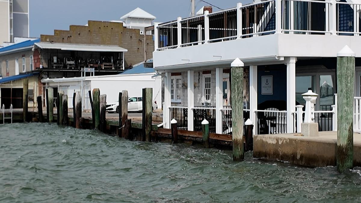
The Chesapeake Bay plays a vital socio-economic role in the region, with economic benefits derived from the Bay estimated to exceed $100 billion annually. This region is uniquely vulnerable to sea level rise, coastal inundation, salinization, erosion, loss of habitat, inland flooding, extreme weather events, nutrient pollution, harmful biological activity, and air pollution. Coastal communities, related assets, and natural resources are acutely susceptible to the impacts of storm surges and rising sea levels. Notably, the ongoing climate change and changes related to warming exacerbate this situation by intensifying sea-level rise and amplifying the frequency of extreme weather events, encompassing both tropical and extratropical storms [Jay et al., 2023]. In January 9-10, 2024, a strong extratropical cyclone moved along the Northeast coast generating severe storms and flooding that rivaled Hurricane Isabel. Annapolis, MD experienced the third highest mean high water ever at 3.67 feet [NOAA, 2024].
These problems emphasize the urgency of addressing climate change at state and local levels while ensuring that the needs of all communities, especially the traditionally underserved, are addressed in an equitable manner. Accordingly, efforts to mitigate and adapt to these climate change impacts require a comprehensive and coordinated approach involving local, state, Tribal Nation, federal governments, communities, scientific institutions, and regional organizations.
Monitoring Flooding with Hydronet
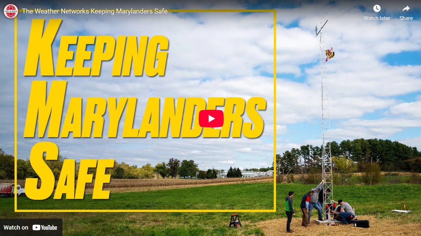
Hydronet is enhancing water level monitoring by implementing a cost-effective sensor network in high flood-risk areas across Maryland’s Chesapeake Bay region. Hydronet sensors are low-cost, solar powered, and networked through cellular connections. The sensors are installed in high flood-risk communities, with priority given to those that are currently underserved, underrepresented, overburdened, and lack adequate monitoring infrastructure. Once sensors are installed, local decision makers are able to access water level information through a convenient dashboard, and even set up alerts they can use for decision-making. Hydronet integrates information from observations and model simulations to help Maryland make informed decisions on community adaptation to climate change and mitigation of increasingly extreme short-term climate events.
Hydronet’s primary objective is to bolster coastal resilience and develop an enhanced flood risk alert system. This endeavor integrates input from stakeholders at the community, county, and regional tiers to ensure a better understanding of the risk preferences and needs of decision makers. The information gathered from the sensors coupled with NOAA tidal predictions will provide data to downscale future NOAA tide casts.
This effort will culminate in the development and application of a state-of-the-art high-resolution predictive platform that interconnects land-atmosphere-ocean dynamics, marine ecosystem productivity, coastal inundation analysis, and climate risk assessment. We will validate the platform against historical records and intensive observations collected through existing observation systems and a new network of water level sensors that prioritizes areas with high flood risk, particularly communities that have been underrepresented and lack sufficient observation data. We will co-produce its information delivery system through robust partnerships with federal, state, and local agencies. The predictive platform will play a pivotal role in shaping policy decisions and fostering the establishment of resilient coastal communities in a changing climate.
Our goal is to work in partnership with decision-makers across all intragovernmental levels to provide information and insight that ensures a better support of the needs of local decision-makers. Our priority is to integrate the information from better observations and model simulations made with 1) advanced high-resolution data networks essential for monitoring and assessing ongoing changes and 2) research-grade regional climate and hydrology models downscaled to help Maryland make informed decisions on community adaptation to climate change and mitigation of increasingly extreme short-term climate events.
Access the Data
The Hydronet has been expanded to 12 locations, with perhaps another 10 to be installed by the end of the year with support from MARACOOS. Current data can be accessed at the link below; work is underway to archive past data and provide access to users.