
Lead Scientist: Sujay Kaushal
Professor
Department of Geological, Environmental, and Planetary Sciences
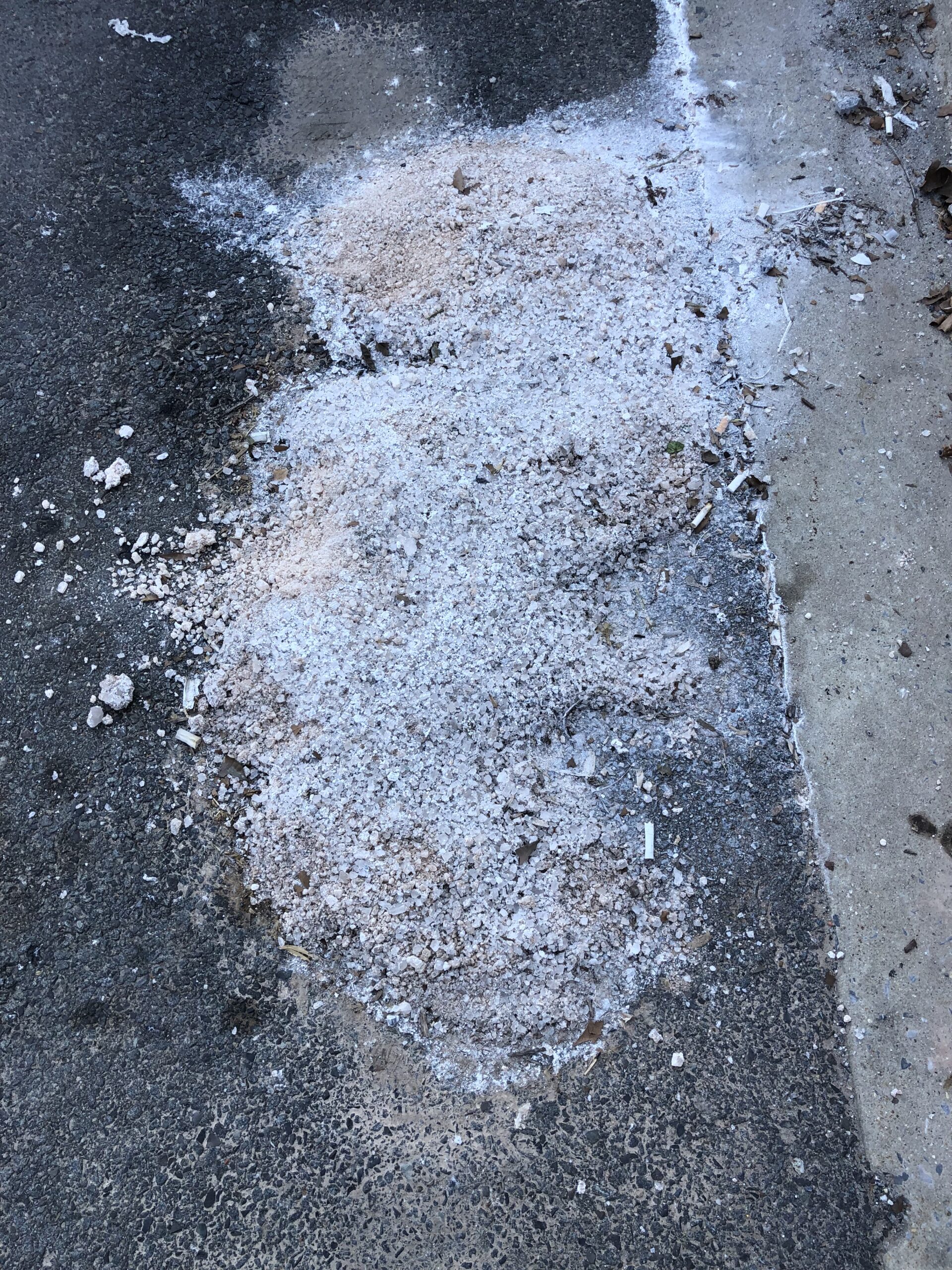
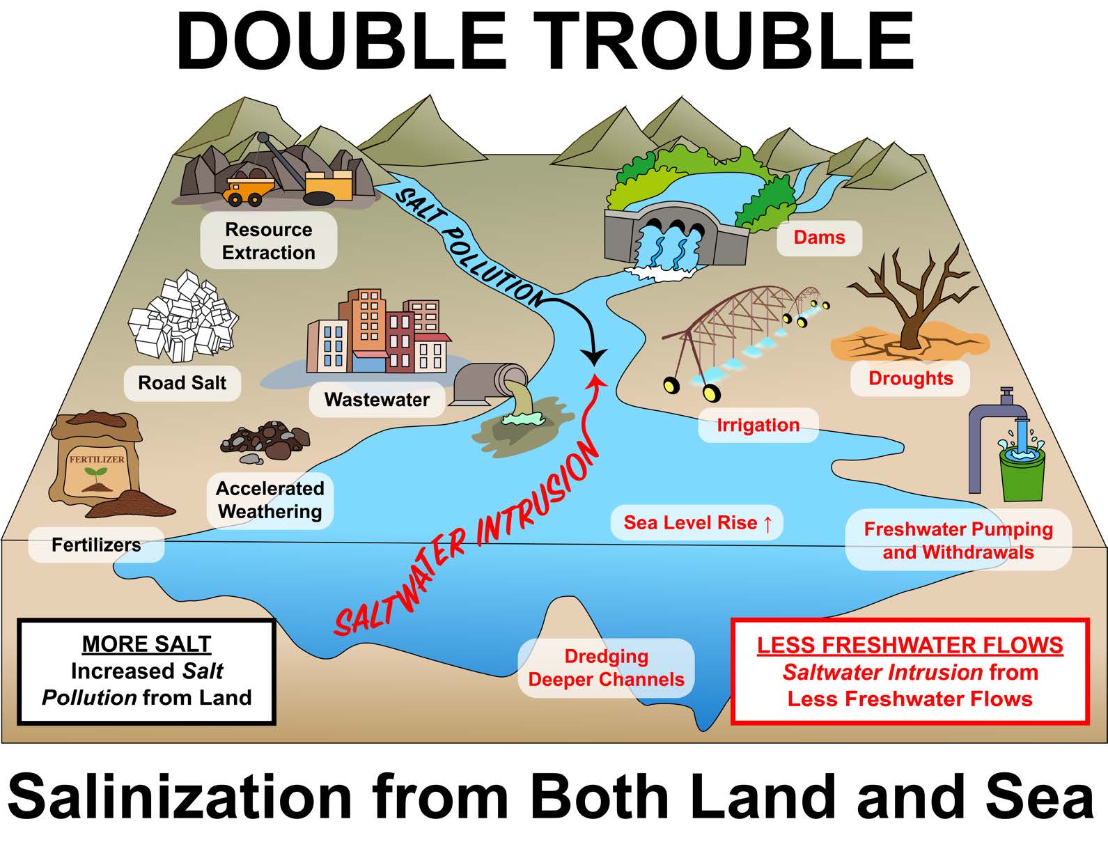
There are increasing impacts of salt pollution from watersheds related to winter road deicers, wastewater inputs, water treatment chemicals, fertilizers, and erosion of impervious surfaces into streams, rivers, and lakes across the U.S., including major drinking water sources. At the same time, there are increasing impacts of salinization extending landward from sea level rise and salt water intrusion, impacting forests and agriculture. The convergence of salinization from both directions due to changes in winter climates, extreme storm events, and saltwater intrusion can affect clean drinking water, aquatic life, the salt front of tidal rivers, and major consumptive uses of water in Maryland. In addition, the increasing salinity of non-tidal and tidal waters can also influence water quality by not only the salt ions themselves but indirectly through the metals, nutrients, and other contaminants mobilized by increased salinization. Salinization is a major threat globally, and its impacts are increasing regionally and locally in Maryland with changes in land use, population, and climate.
Tracking Salinization in Maryland
On the research front, we conduct fieldwork tracking sources of salinity in Watts Branch and other streams across the region. This involves tracing downstream changes in the concentrations and compositions of different salt ions and relating these changes in “salty chemical cocktails” to chemical fingerprints of different pollution sources. We are also developing sensor proxies for estimating salt ion concentrations and related roadway chemicals. These results are being prepared for publication in a special issue of Ecological Engineering, supported by a Chesapeake Bay STAC meeting focused on stream restoration.
In December 2024, we organized a special session at the American Geophysical Union. This session brought together invited speakers and contributed presentations from researchers, stakeholders, and students from across the United States. The focus was on understanding the causes and consequences of freshwater salinization. Sujay Kaushal served as the lead convener, with several graduate students from the project acting as co-conveners and presenters. Dr. Kaushal was also an invited speaker and a member of the Salt Summit, an annual event organized by the Washington Suburban Sanitary Commission.
One of our most significant accomplishments this year was publishing the first map of salinity trends in tidal rivers and the mainstem of the Chesapeake Bay. A major goal was to expand beyond non-tidal streams and understand salinity impacts in tidal systems. Climate Resilience Network has enabled direct stakeholder engagement and allowed us to broaden our monitoring and management approaches to include tidal waters. We plan to build on these partnerships and, through the upcoming Chesapeake Bay Scientific Technical and Advisory Committee (STAC) meeting, develop a salt management plan for Maryland and the broader Chesapeake Bay region.

The first map of salinity trends in tidal rivers and the mainstream of the Chesapeake Bay. From: Freshwater faces a warmer and saltier future from headwaters to coasts: climate risks, saltwater intrusion, and biogeochemical chain reactions.
Explanation of figure (click to expand)
A long-term trend analysis of salinity for tidal sites within the EPA Chesapeake Bay Program water quality monitoring network. Long-term trends at sites were only assessed if sites had 10 + years of data and 50 + observations. Theil-Sen slopes are shown for the trends at specific stations as examples; in addition, the colors of points on the map represent ranges in Theil-Sen slopes for individual stations within the tidal monitoring network. Trends in figures A-F are statistically significant and PSU in the figure legend refers to practical salinity unit. (Panels A, B, and C) Long-term trends in salinity throughout the Chesapeake Bay. The mainstem of the Chesapeake Bay shows long-term “freshening” or decreasing salinity trends due to increased streamflow from the Susquehanna River over recent decades. In contrast, we observed increasing salinity trends in many of the tidal rivers flowing into the Chesapeake Bay during the same time period. (Panels D, E, F) There have been increasing long-term salinity trends along the Potomac, Rapahannock, York, and James Rivers; while examples of time series are only shown for a subset of these rivers, all monitoring stations with increasing salinity trends can be seen in shades of red on the map. The names of some of the major tributaries flowing into Chesapeake Bay are labeled on the map for geographic reference. Information about trends at each station (e.g., years of record, sample sizes, slopes, p values, and confidence intervals) can be found in Supporting Information Table S2
Engagement with Stakeholders
This work builds on and greatly expands existing relationships with stakeholders at Maryland Department of the Environment, Maryland Department of Natural Resources, Washington Metropolitan Council of Governments, and U.S. Environmental Protection Agency (EPA). From MDE, the Chief of the Watershed Restoration Planning Division has visited us at UMD, and has expressed interest in working together on outreach products. MDE started a salt training program for Maryland salt applicators. We also have started conversations with the Source Water Protection and Water Appropriations Division at MDE regarding tidal rivers and impacts of salinization on water intakes. We reviewed a report by Maryland DNR on salinization impacts on aquatic life in Maryland, and are also in touch with him and could work on thresholds. Finally, we have ongoing collaborations with the Washington Metropolitan Council of Governments regarding salinity issues.
We are also involved in a salt technical working group sponsored by Washington Suburban Sanitary Commission (WSSC) involving a variety of stakeholders at state and county levels. We have also solicited input on Climate Resilience Network from the U.S. EPA Region3 and Office of Research and Development. These stakeholders have expressed interest in the development and current need for salinization risk maps, sensor proxies for salt ions and secondary contaminants, and decision support tools and fact sheets translating research into salt management.
Through Climate Resilience Network, we have engaged with the office of Maryland State Delegate Jen Terrasa of Howard County. We provided input on proposed legislation concerning road salt management. While the outcome of this legislation is still uncertain, we have also shared project results with a special working group of the Metropolitan Washington Council of Governments. This group includes not only environmental managers but also transportation and infrastructure officials, along with local politicians. From a policy perspective, we have also continued working with Delegate Terrasa’s office on salinity-related issues and proposed legislation for road salt and urban stream restoration. We’ve also presented our findings to local politicians in the Washington, D.C. metropolitan region.